Welcome
to the home page of
|
|
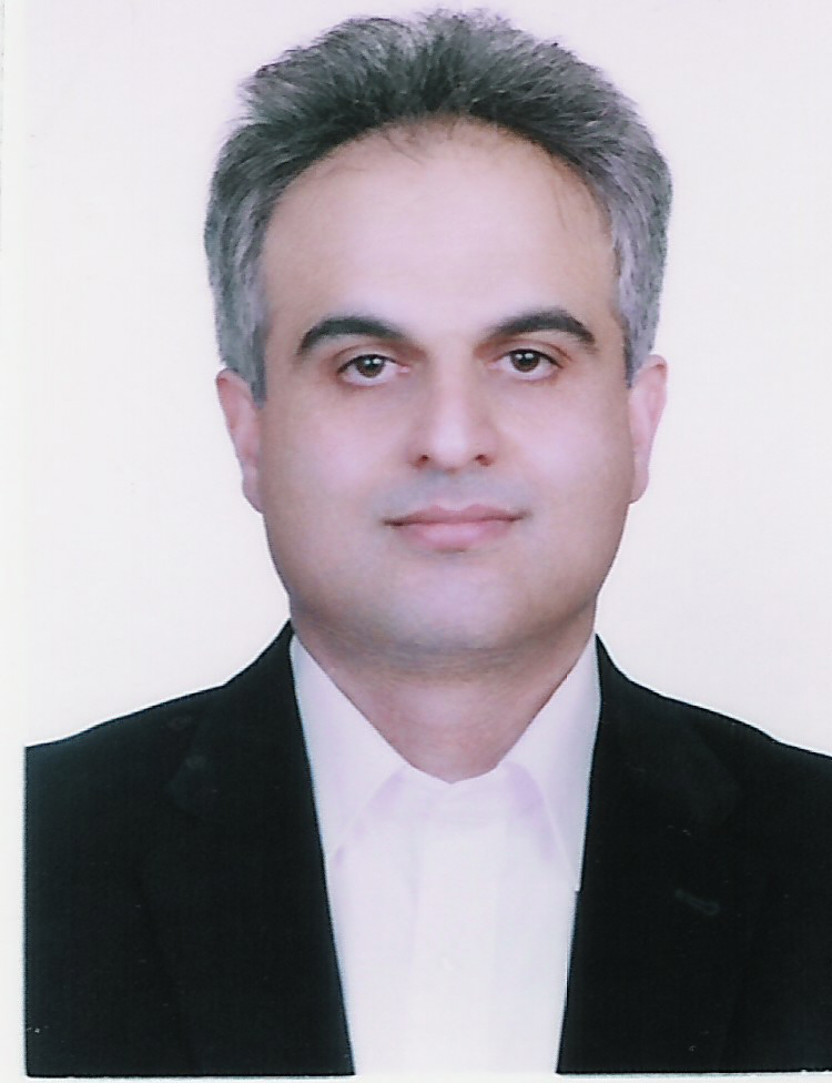
Hossein Nahavandchi
Professor of Geodesy PhD. Eng. |
Biography
- I
hold a Bachelor of Science degree (Eng.) in Surveying, and a Master of
Science degree (Eng.) in Geodesy from K.N. Toosi
University of Technology in Tehran, and a Doctor of Philosophy degree
(Eng.) from Royal Institute of Technology in Stockholm. My primary
research interest is Physical Geodesy and I was chief investigator of
national geoid determination group in Iran. My other research interests
include satellite geodesy, GPS and mathematical geodesy. I have been
lecturing in the Surveying and Geodesy fields since 1989. Over 140
publications and presentations are the results of my reseraches
in these fields since 1989. My career includes being a member of staff at
Isfahan University (as Senior Lecturer and Head of Department of Surveying
Engineering) and Tehran University (as Head of Division of Geodesy and
Assistant Professor), Royal Institute of Technology in Stockholm (as
Researcher and Research Associate) and Norwegian University of Science and
Technology (NTNU) (as Associate Professor ). I
have been working for Iranian National Mapping Authority (NCC) in several
functions since 1994. Among them were: Head of Department of Research and
Development and Dean of College of Surveying. I was also editor-in-chief
of the Iranian Surveying Journal. I was promoted to Full Professor of
Geodesy at the NTNU based on the qualifications and competence in
September 15, 2004.
Education
- B.Sc. in Surveying Engineering, Department of Geodesy,
Faculty of Geodesy and Geomatics, K.N.Toosi University of Technology, Tehran, Iran
- M.Sc. in Geodesy, Department of Geodesy,
Faculty of Geodesy and Geomatics, K.N.Toosi University of Technology, Tehran, Iran
- Ph.D.
(Dr. Eng.) in Geodesy, Department of Geodesy and
Photogrammetry, Royal Institute of
Technology, Stockholm, Sweden
Thesis title: "Precise Gravimetric-GPS Geoid Determination with Improved Topographic Corrections Applied over Sweden"
Current Research
Projects
- Determination of mass transport and distribution
in the Earth system
- Sea level variability
from Altimetry and Gravimetry satellite missions in the Nordic seas
- Deformation processes
from InSAR data
Research Projects
Publications
Administrative and
Academic Positions and Teaching Experiences
- Undergraduate Courses
- Geodesy I (General Theory)
- Geodesy II (Geodetic Computations)
- Physical Geodesy
- Satellite Positioning
- Geodetic Astronomy
- Postgraduate and PhD
Courses
- Advanced Physical Geodesy
- Approximation Theory
and Time Series
- Advanced Satellite Positioning
- Satellite Gravimetry and Altimetry
Previous and Current
Positions of Responsibility
- Editor,
Journal of Geodetic Science
- Member
of Working Group, The Inter-commission committee on Theory,
International Association of Geodesy
- Member,
Working Group 2 (Research), European Education in Geodetic
Engineering, Cartography and Surveying (EEGECS)
- Member,
Nordic
Geodetic Commission (NKG)-Geoid
Determination Working Group
- Editor-in-Cheif, Iranian Surveying Journal, "Surveying"
- Member, European Geosciences
Union
- Member, International Association of Geodesy
- Member,
Ministry of Science, Research & Technology of Iran, High Council of Planning in Geomatics and Surveying Engineering
- Head,
Research Council in National Mapping Authority of Iran
- Member,
Standard Committee on Geodetic Networks in Iran "Standards"
- Member,
Editorial Board of Iranian Surveying Journal, "Surveying"
- Member,
Editorial Board of Iranian GIS Journal, "Shahrnegar"
- Member,
Scientific Committee of Annual Geomatics Conference in Iran, National Mapping Authority of Iran (NCC)
- Head,
Postgraduate Studies, Department of Surveying and
Geomatics Engineering, Division of Geodesy, Tehran
University
This page is maintained by Professor Hossein Nahavandchi using HoTMetal PRO 6.0.
This page was last modified on the 29th of May, 2012.
